
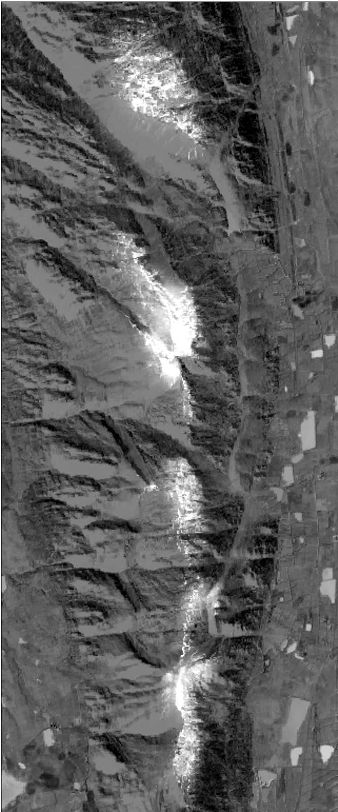
Satellite images serve as a vital source of information
to understand different weather phenomena.
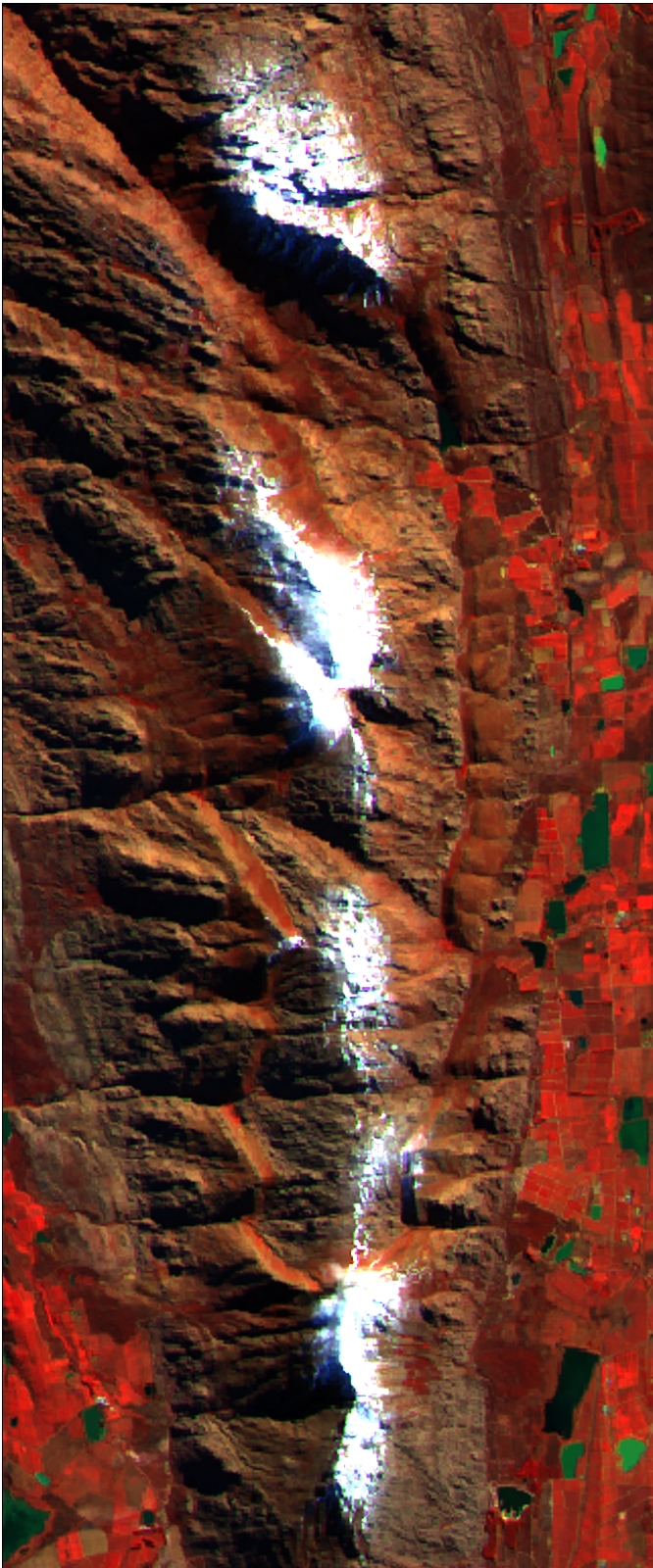

B: MODIS Image
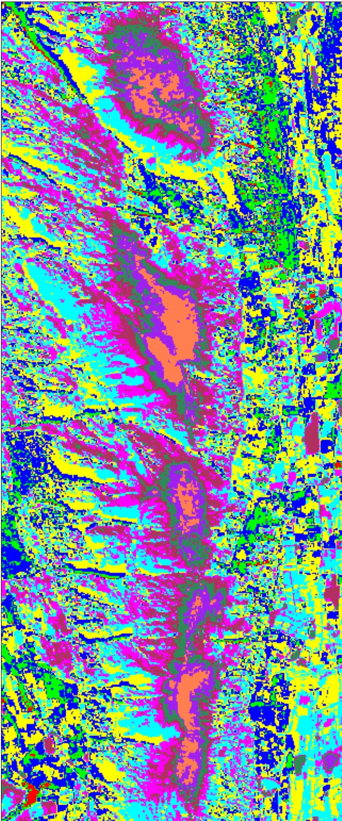
B: K-mean CLassification
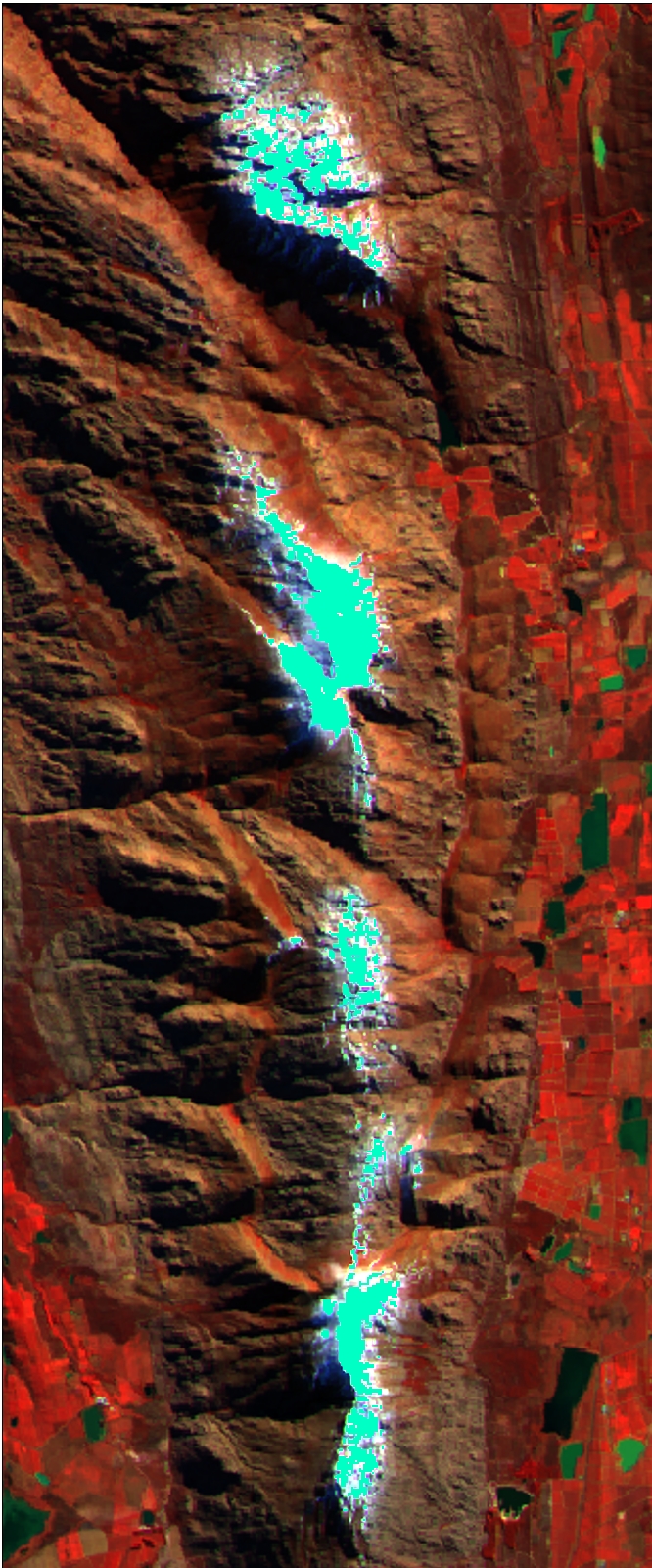
B: Extracted snow pixels