URBAN PLANNING


Stereo optical image of Cape Town

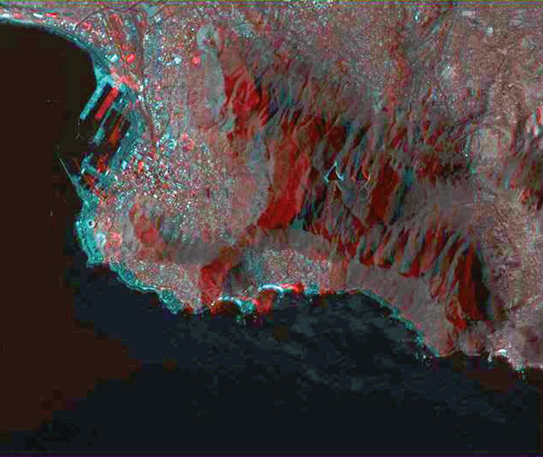
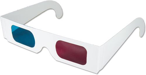
Stereo optical imaging is a technique that displays images in three dimensions (3D). It is increasingly becoming an important application in heritage preservation, archaeology, urban planning and city development. In remote sensing, 3D images are created by taking satellite images of the same area from different angles and fusing them to create an anaglyph image. To view the images in three dimensions, 3D anaglyph glasses are used.
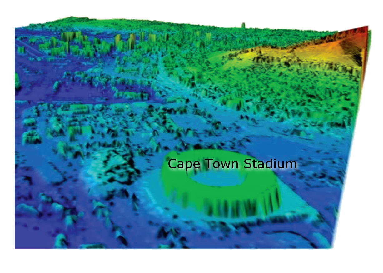
Digital Surface Model (DSM) for Cape Town derived from stereo imagery

Anaglyph image of Cape Town. To view this image in 3D, please use anaglyph glasses.


Robben Island

Cape Town and Robben Island as seen from a SumbandilaSat Image

Green Point Stadium and the Waterfront

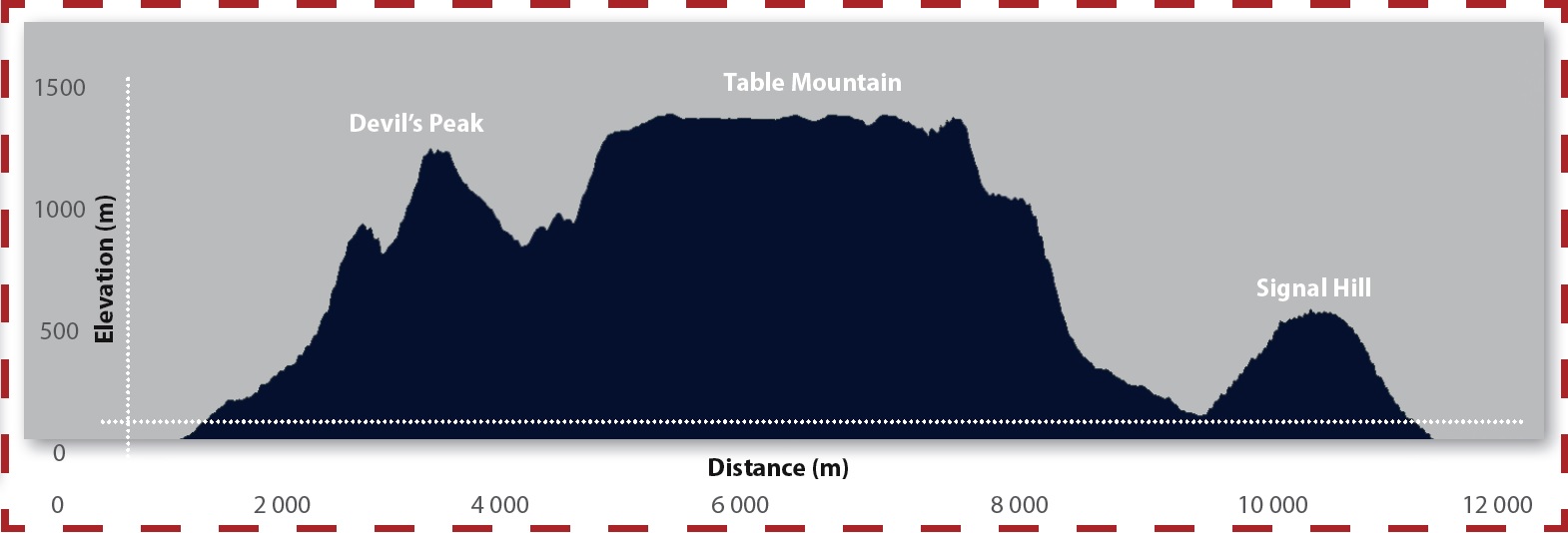
Cross section profile of Table Mountain, Devil's Peak and Signal Hill

Back to top


© Copyright: South African National Space Agency 2015. All rights are reserved.