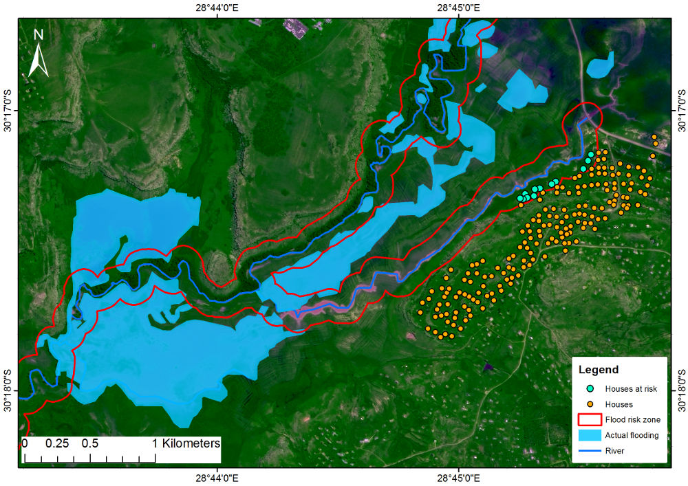
South African Flood Inundation Layer
The product can be used for different applications such as:
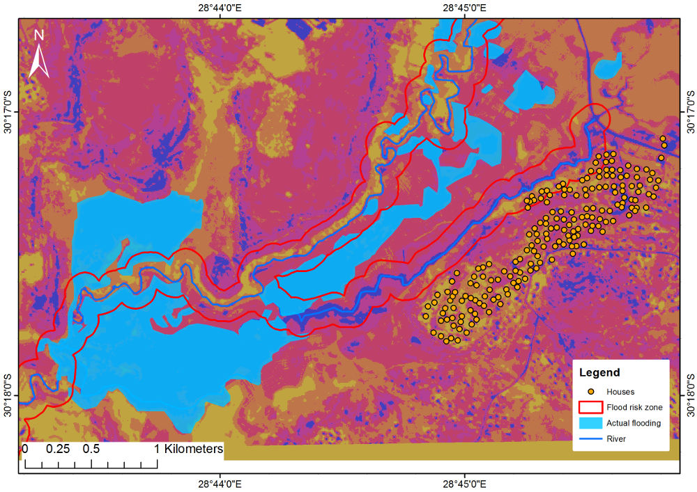
• Identifying areas vulnerable to flooding.
• Identifying infrastructure and other environmental resources that are situated within the flood risk zones.
• Identify flood line and developing flood plain maps.
• Providing valuable information for planning purposes, such as town planning and infrastructure development.
• Water management and irrigation planning.
• Developing hydrological and disaster risk reduction models for early warning.
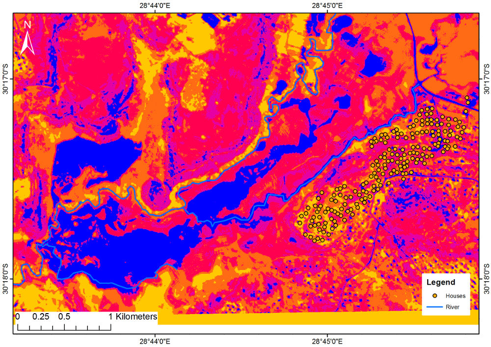
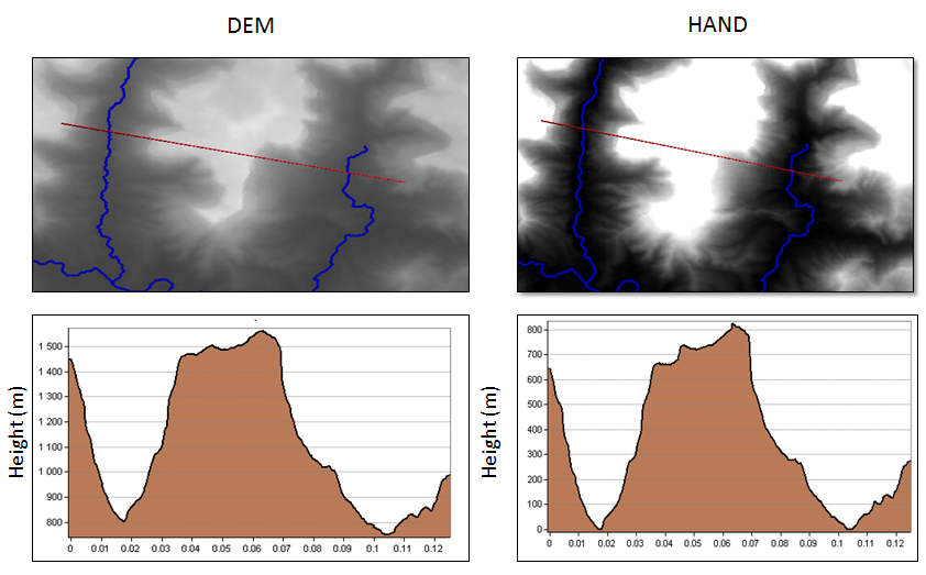
The potential flood map was developed from the Height Above Nearest Drainage (HAND) product which is a hydrologically relevant elevation data based on topography. The difference between the HAND product and the digital elevation model (DEM) is that the elevation in a DEM is calculated from the sea level which is zero and increases further inland. In contrast, the HAND product is calculated from the river channel which has a value of zero at the river channel as demonstrated in figure 1.
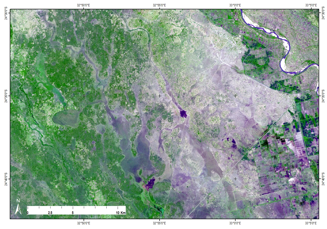
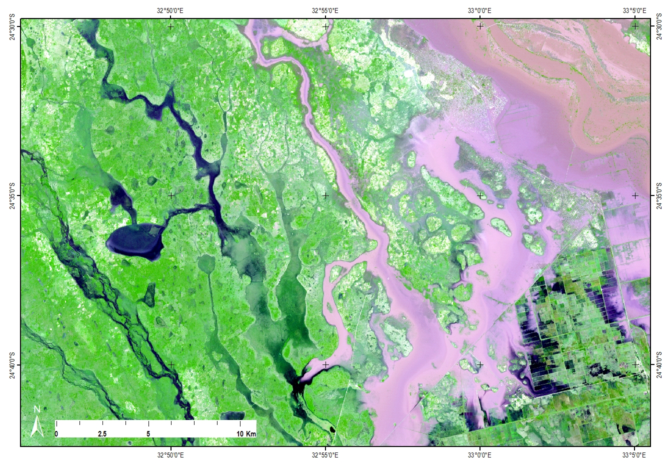
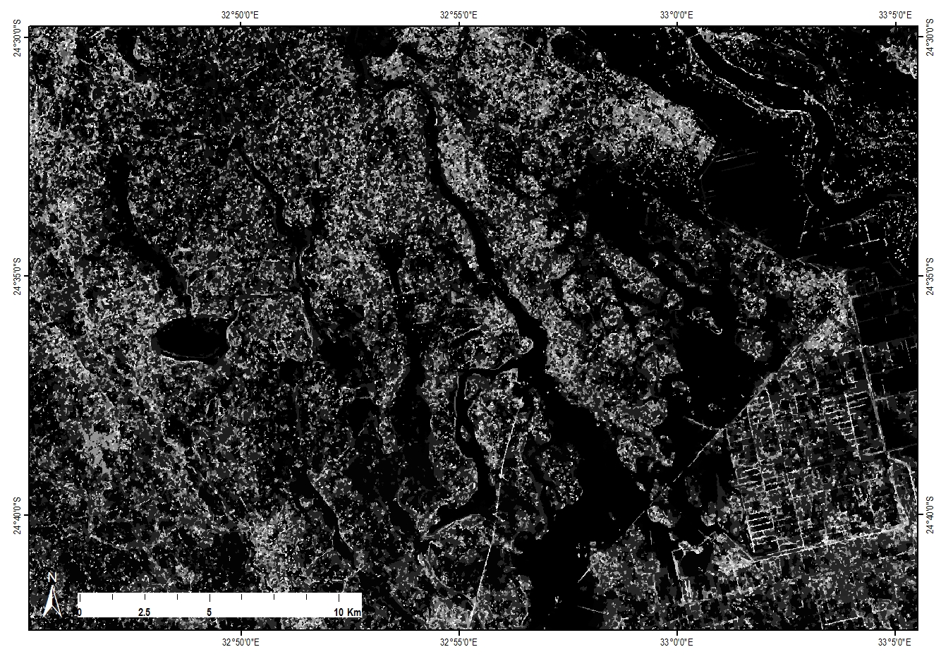
Post-flood Analysis
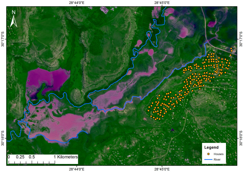
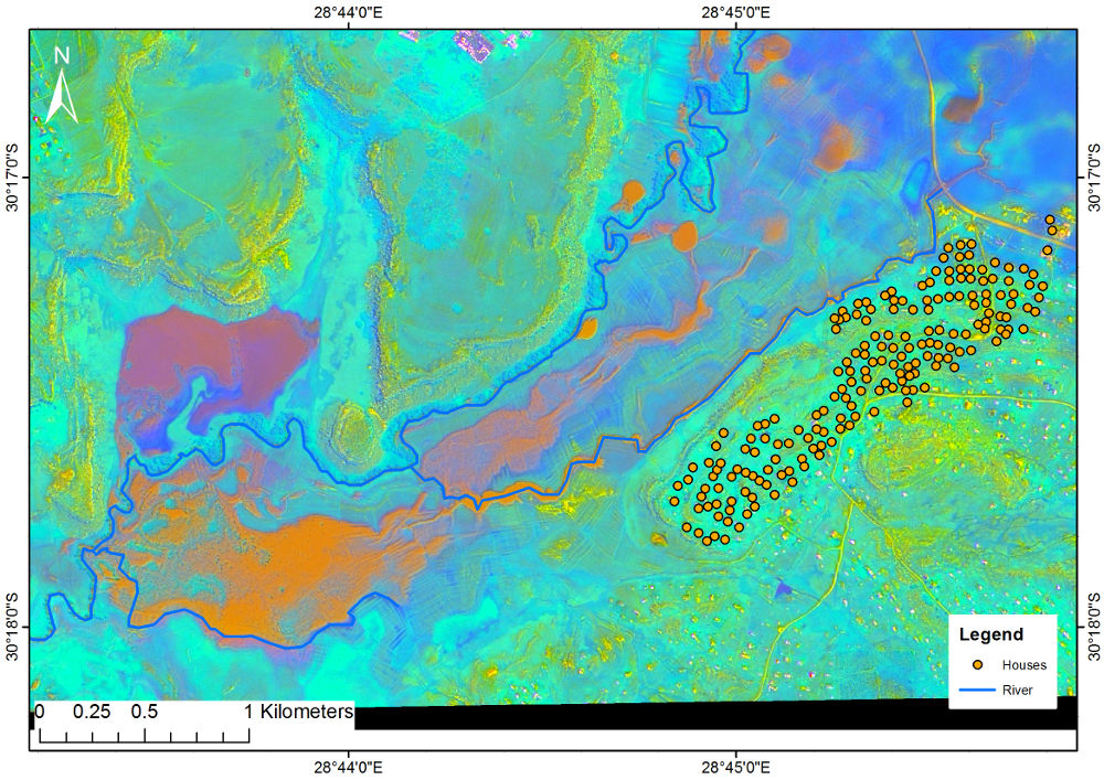
Chokwe

Matatiele