WOODY COVER MAPPING


Historical mapping of woody cover


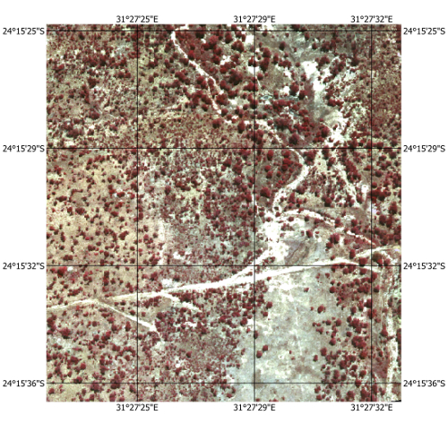
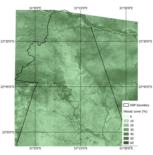
With increased concerns on the impact of climate change on vegetation, it is useful to monitor how vegetation has changed over time. Woody cover vegetation is of interest for both conservation and rangeland management. It is therefore useful to understand historical canopy cover to predict future changes. Making use of historical aerial photography and object-based image analysis in small areas, it is possible to create models and upscale these to larger areas using medium resolution images such as Landsat & CBERS imagery. In this example we mapped woody cover vegetation in the Kruger National Park (KNP) from an aerial image acquired in 1991.


A NIR aerial photograph (0.5m resolution) acquired in 1991 by KNP Scientific Services.


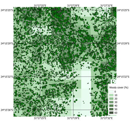
Based on the extracted wood cover, it is possible to calculate the percentage of woody cover at medium resolutions that can be used to create models to map woody cover of the entire KNP.


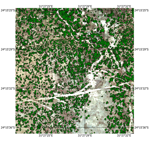
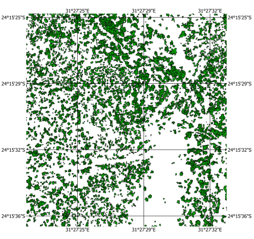
Using Object Based Image Analysis (OBIA), which makes use of both spectral and object properties, the woody trees are extracted from the aerial photograph.


The mapped woody cover as extracted from the aerial photograph.


Using modelling techniques with input from Landsat 5 imagery (30m resolution) from the summer and winter of 1991, and the woody cover maps created from aerial photos, a historical woody cover map for the northern region of the KNP was created.

Back to top


© Copyright: South African National Space Agency 2015. All rights are reserved.